Month: July 2016

Leave a reply

Week 4: (Part 5) From Adel’s Grove to Lorella Springs

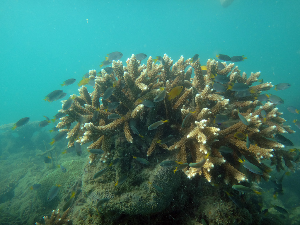
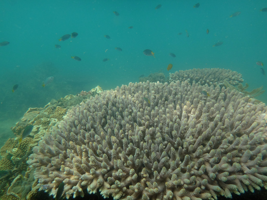
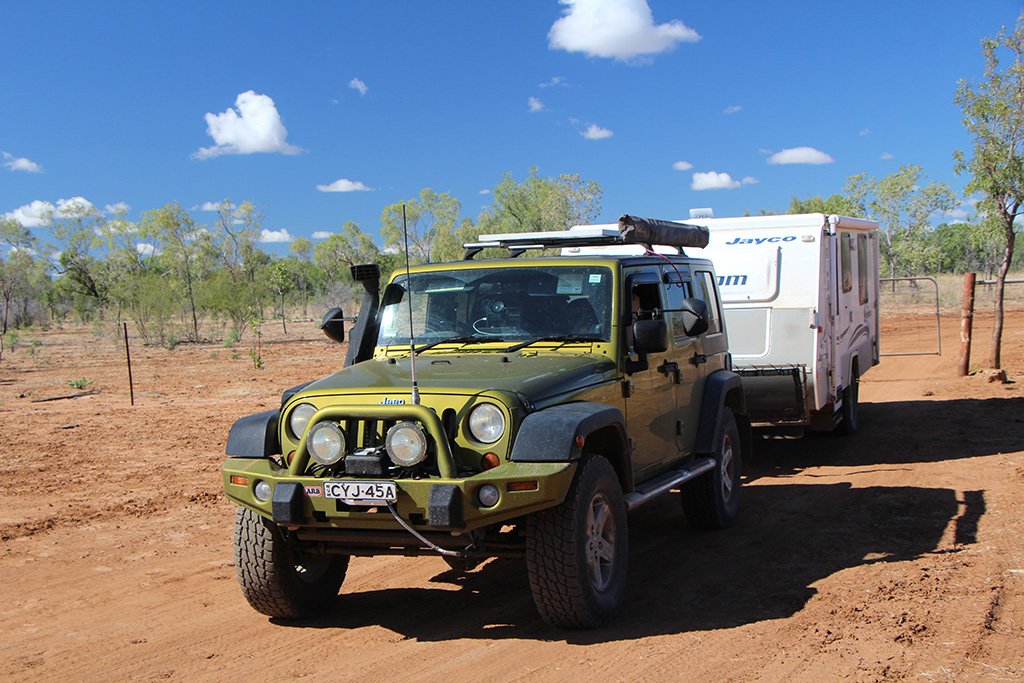
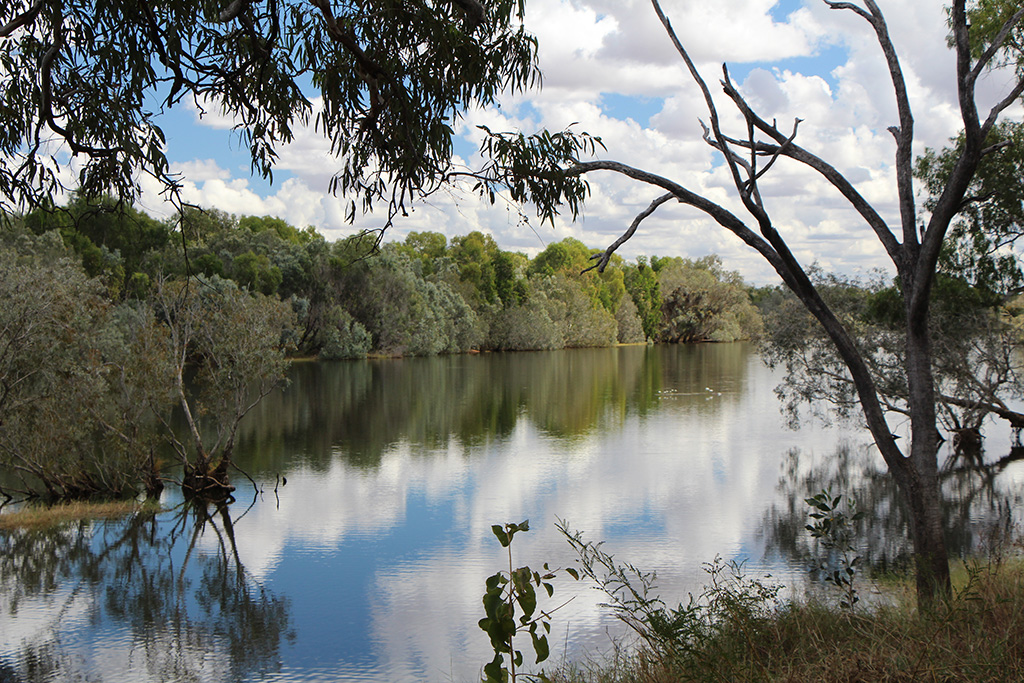
The next day after a swim we left Adel’s Grove and headed for Lorella Springs. It is a bit over 700km’s drive and is mostly along the Savannah Way. We planned to do this over 2 days of driving.

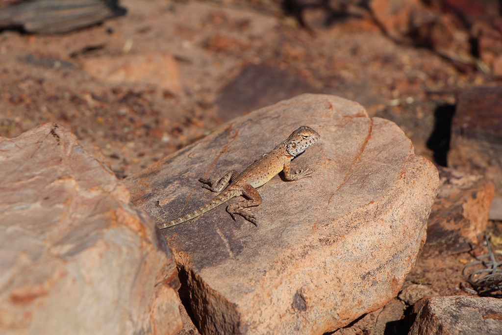
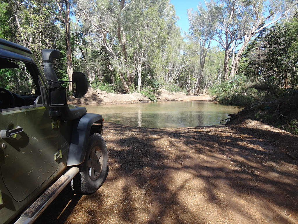
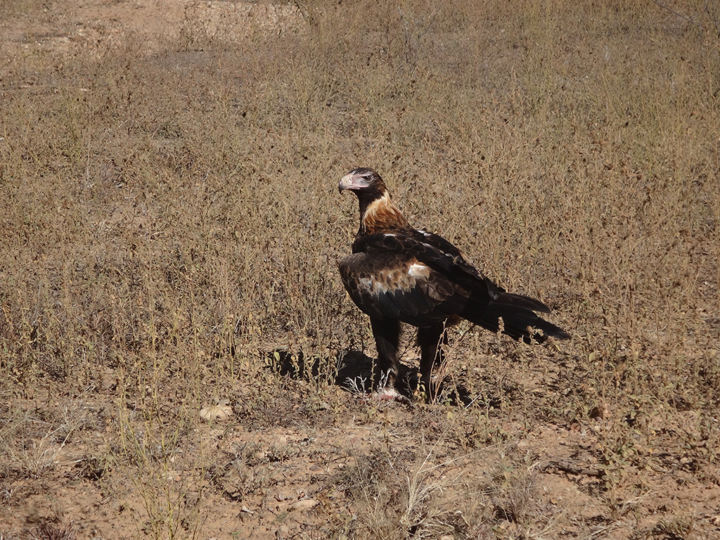
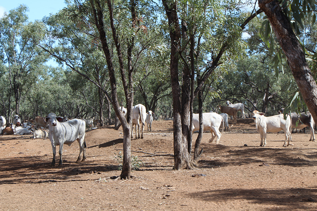
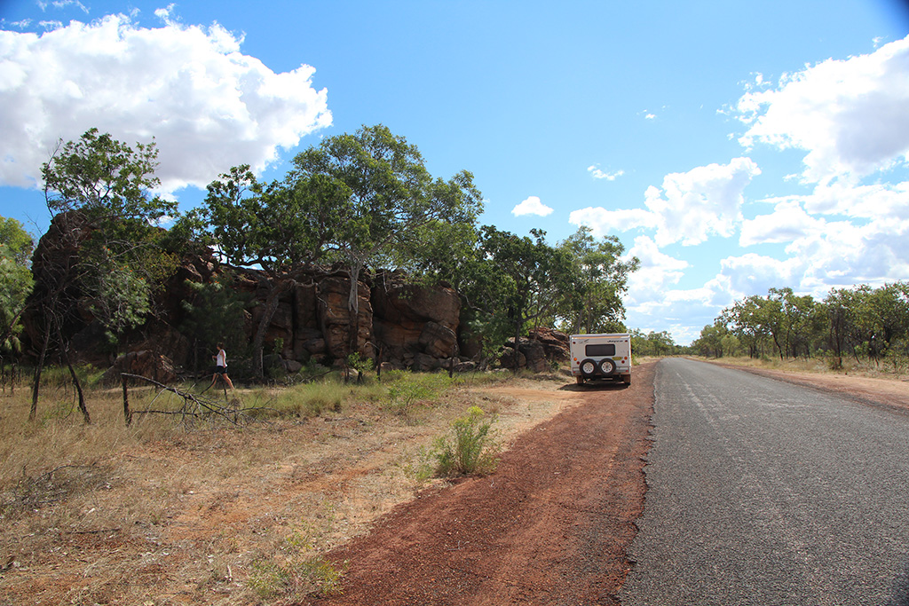
We headed north from Adel’s Grove along the Riversleigh Doomadgee Road rather than over to Gregory and then north. By heading directly north we saved time and kilometers. The trip along this road is good and the road is mostly smooth. It is narrow and travels through a lot of farm land. It has a river crossing at the Lawn Hill end but it is not overly deep. We saw some amazing Wedged Tail Eagles along the way making a meal of road kill.

DSC08096 DSC08092 IMG_01008 IMG_01019 IMG_01017

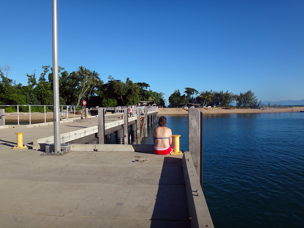
We reached the Savannah Way soon enough and headed to Doomadgee for lunch. There is a nice spot to pull up on the western side of the river with shade and river views.

IMG_01028

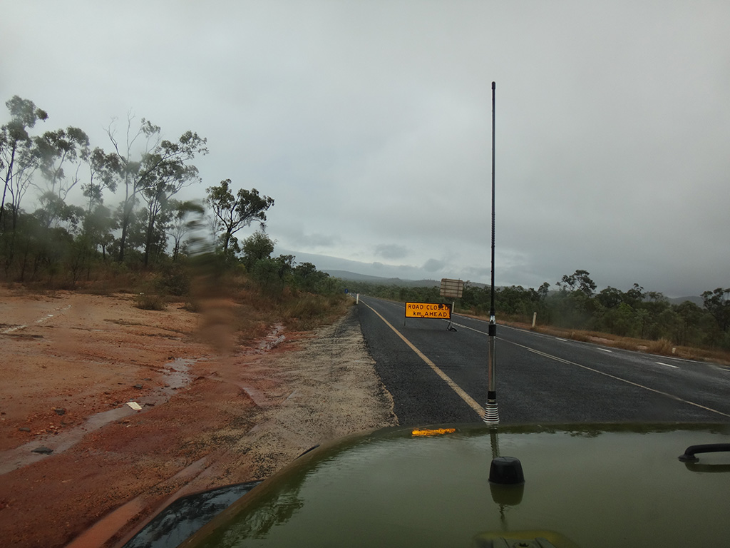
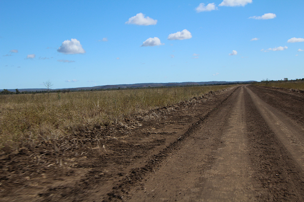
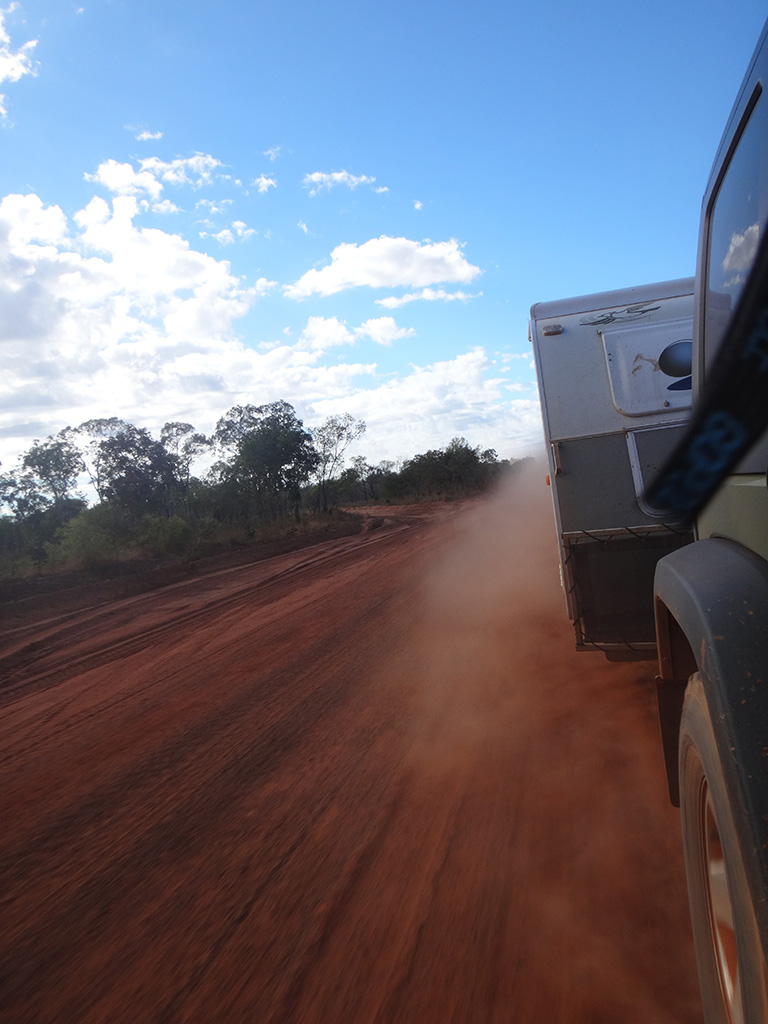
We topped up with a little bit of fuel and kept going on our way. The road was quite good as we left Doomadgee but as we got closer to the Northern Territory border the road got worse. We passed through Hell’s Gate and then made it to the border at around 4pm.

IMG_01043 IMG_01052 IMG_01047

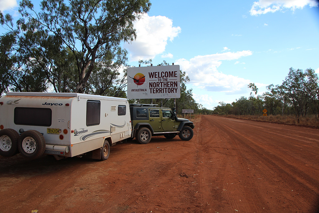
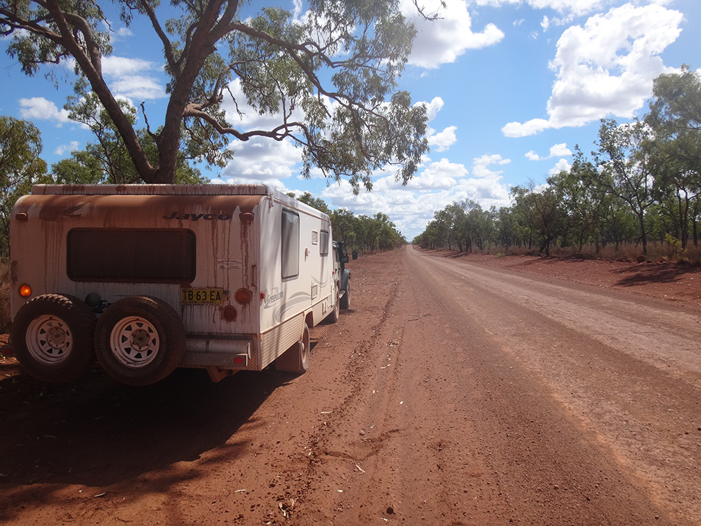
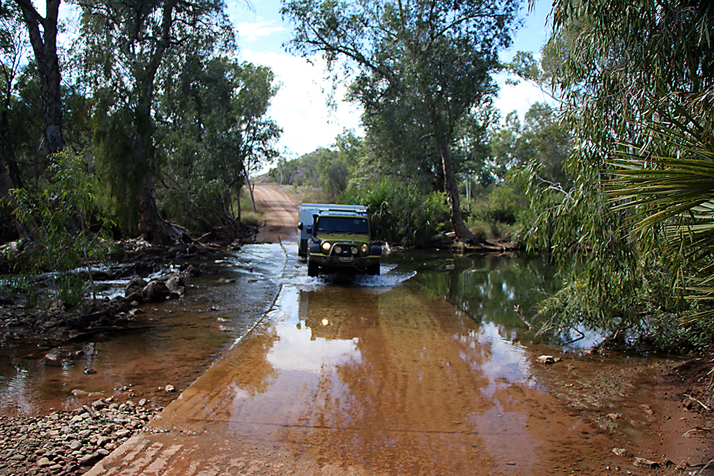
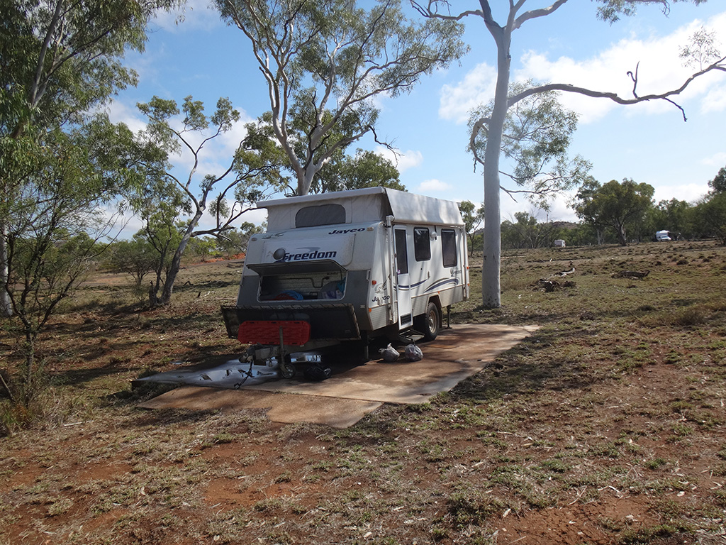
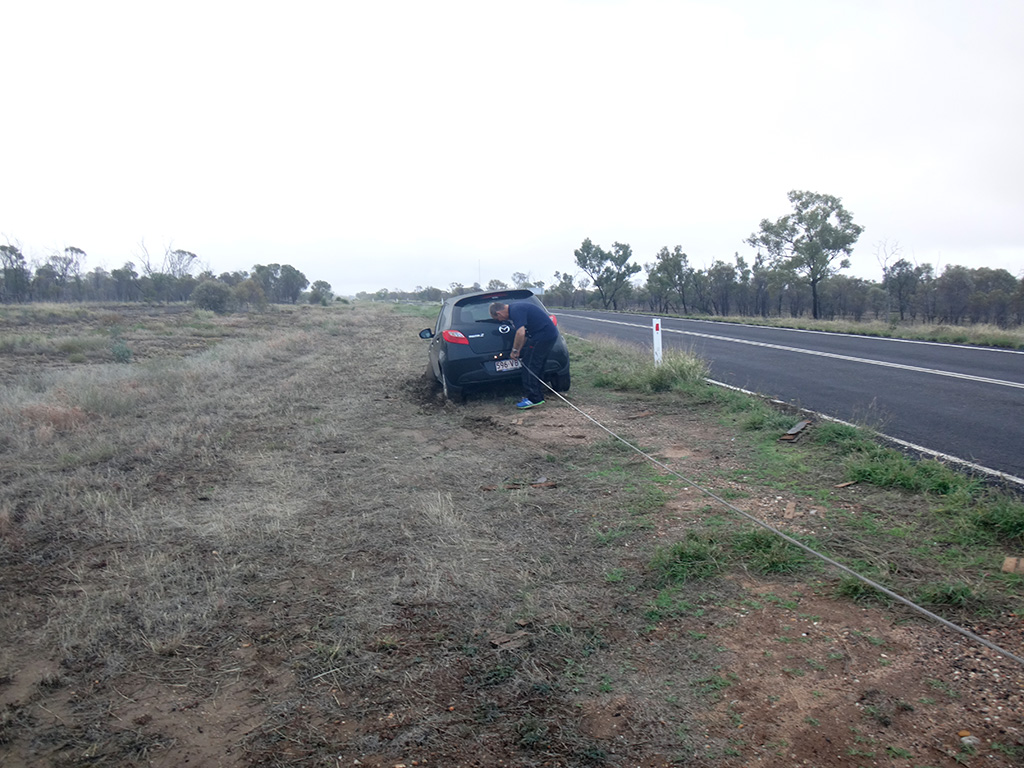
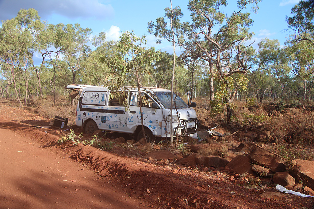
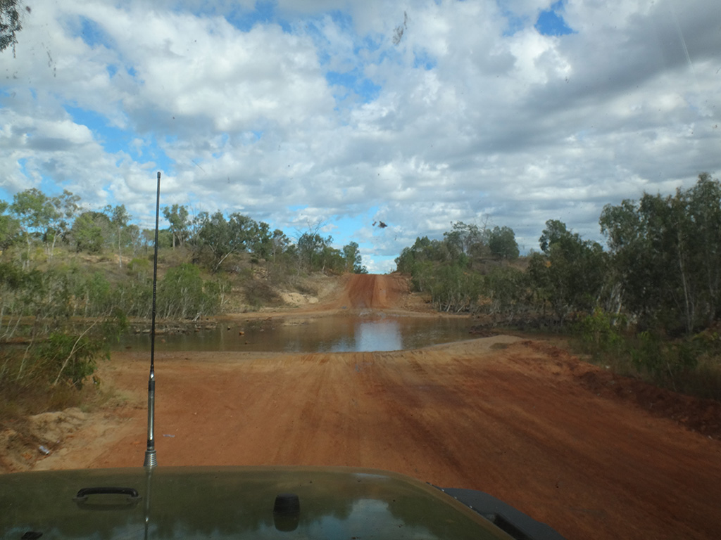
Once we were in the NT the road didn’t improve. We were reminded by a number of wrecked cars on the side of the road of how quickly someones holiday can turn into a nightmare. From this point onwards we also had a number of small river crossings. We eventually had enough of the corrugations and decided to pull up for the night, we didn’t make the campground we were hoping to but needed the rest. It was a hot day and a hot evening so we cooled off with a Milo milkshake (of sorts).

IMG_01056 IMG_01057 IMG_01065 IMG_01066

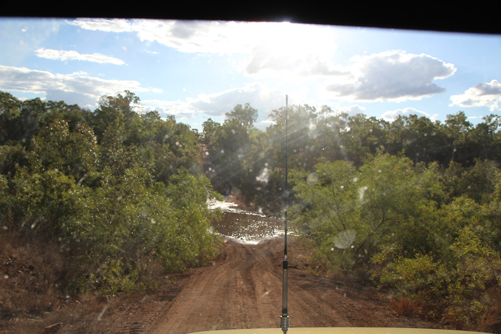
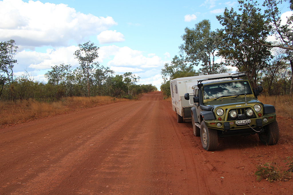
On our second day to reach Lorella Springs we got going early with a fresh hope of better roads. The roads did improve slightly as we made our way towards Borroloola and we were feeling good about the day. Again we encountered numerous river/creek crossings but none were deep.

DSC08103 DSC08104

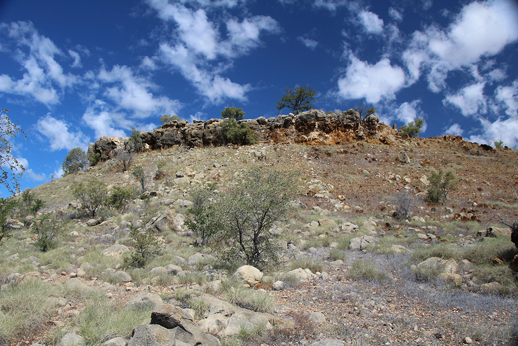
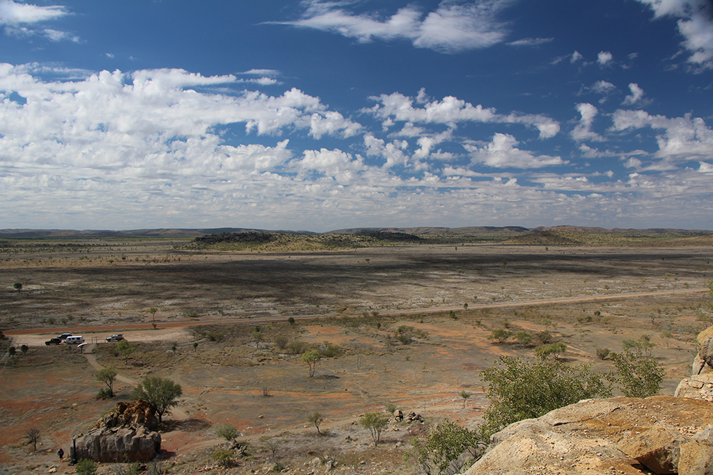
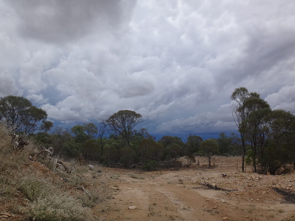
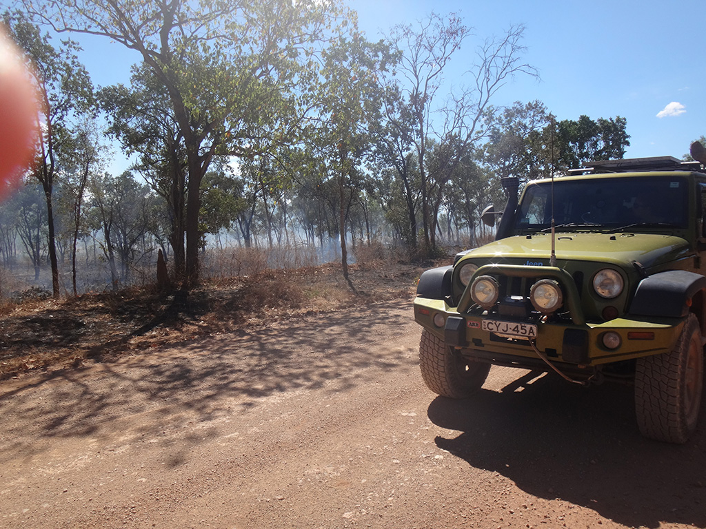
We had morning tea and filled with fuel in Borroloola. Not far from Borroloola we turned off on the road towards Lorella Springs. It did not seem well travelled and was narrow. We drove through some back burning that was being done on the bush which was interesting to see.

DSC08109

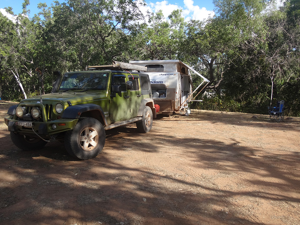
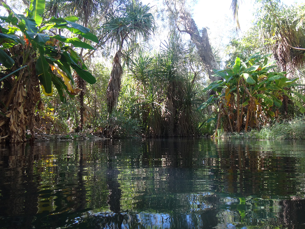
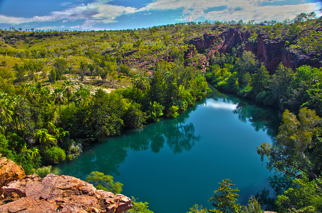
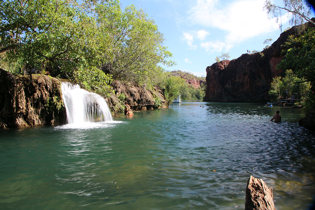
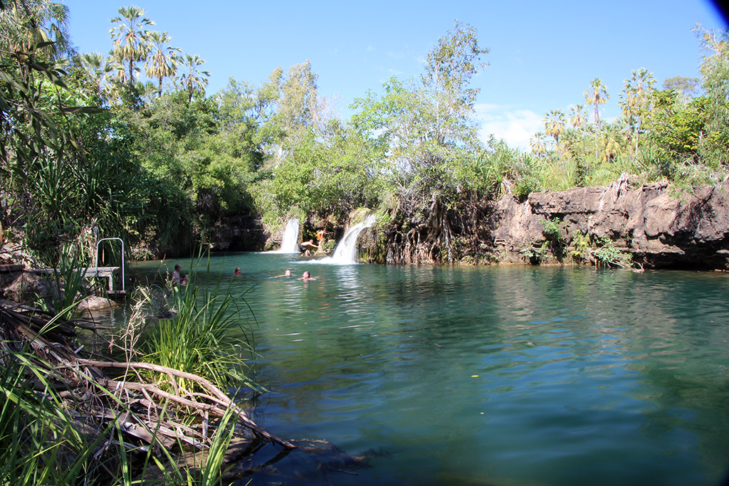
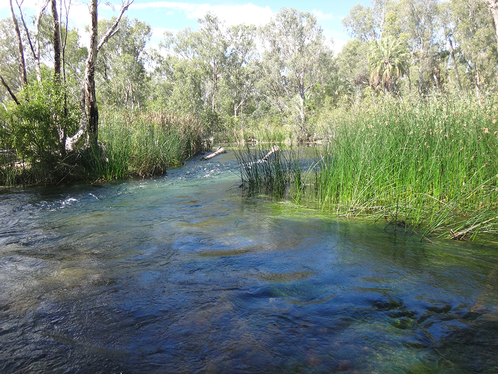
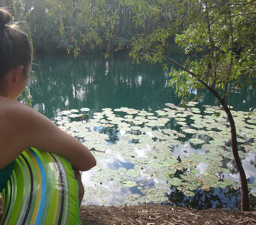
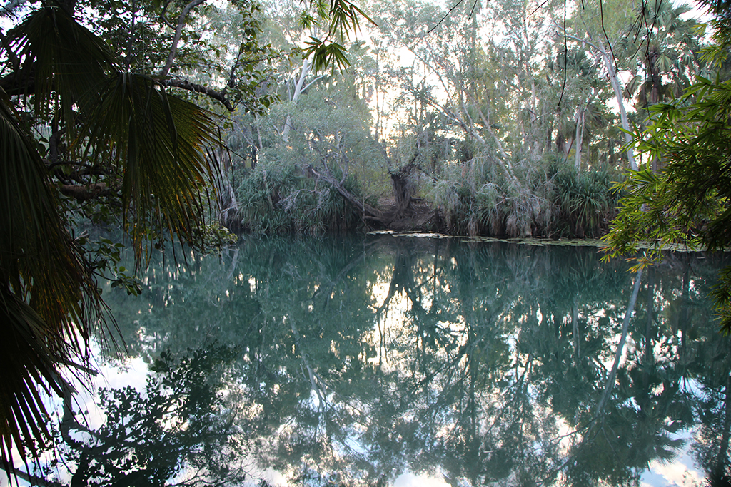
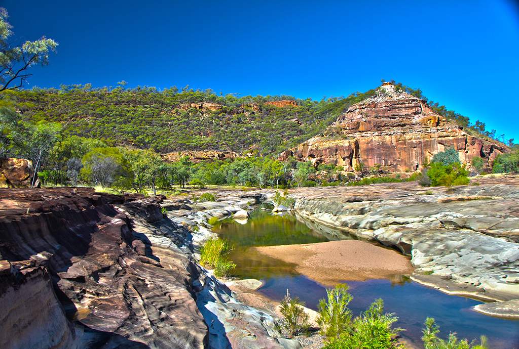
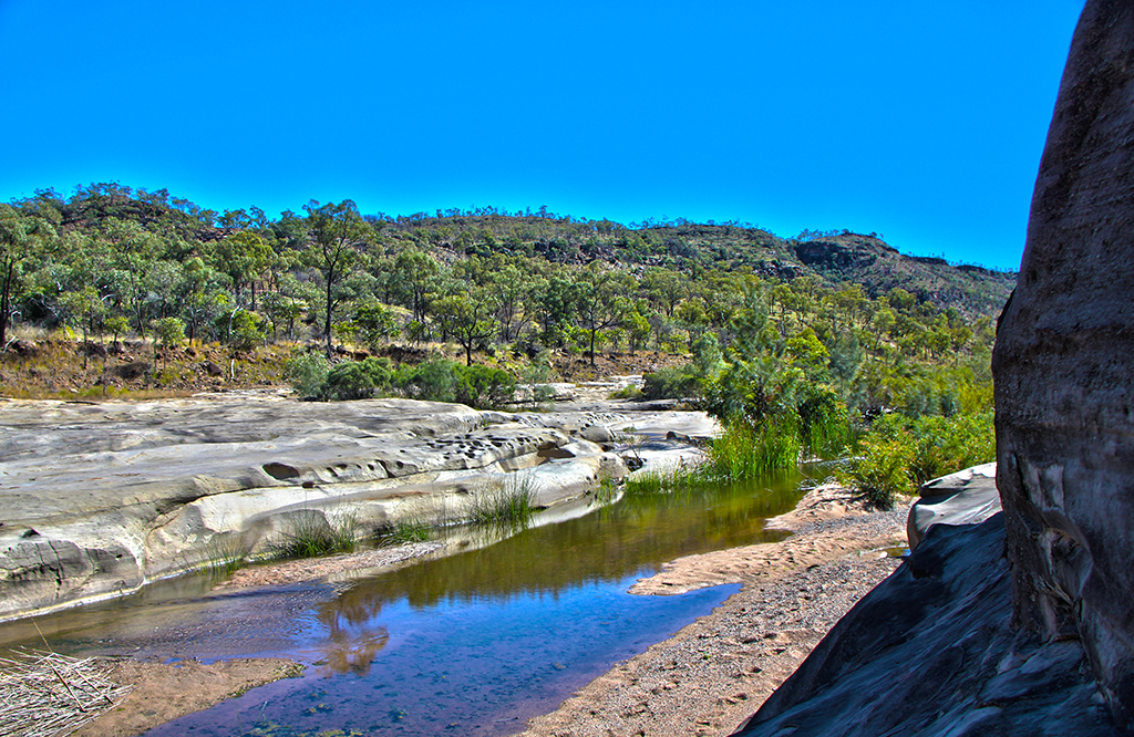
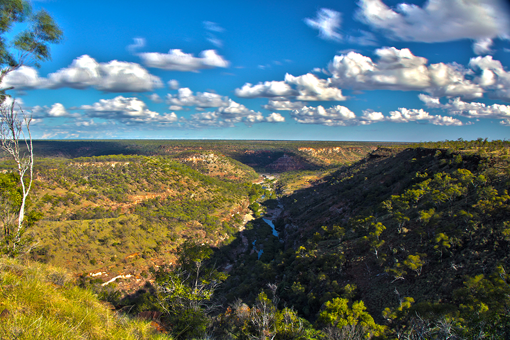
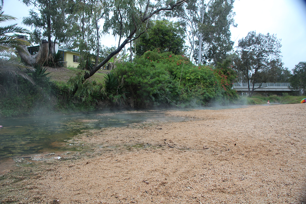
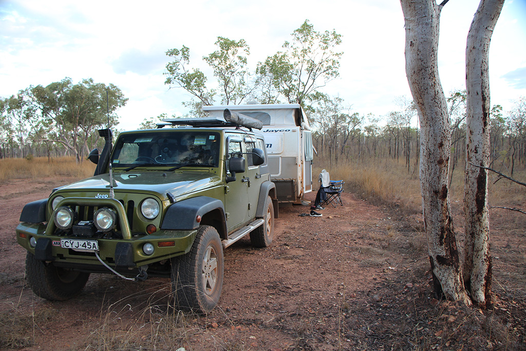
We turned onto the Nathan River Road which was very rough and had a lot of bull dust. We eventually made Lorella Springs and set up camp. We ended the day with a swim in the hot spring adjacent to the camp area.

DSC08111 DSC08114 DSC08187


Leave a reply

Week 4: (Part 4) Lawn Hill (Boodjamulla) National Park

Today we headed into Lawn Hill (Boodjamulla) National Park. We were feeling energetic and decided to walk to the Upper Gorge Lookout and make our way back via Indarra falls and Duwadarri Lookout. It’s approximately a 9km round trip so it doesn’t seem far but the temperature (approximately 34 degrees) combined with the exposure to the sun means you work up quite a sweat.

On the first leg of our walk we walked to the Upper Gorge Lookout. It has amazing views looking down into the green water of the upper gorge. Not many people walk out to it so it is quite peaceful. Along the way we were greeted by plenty of little lizards (Gilbert’s Dragon) and flowering Grevillea.

IMG_00967 IMG_00969 LawnHill_HDR1

We made our way down from the lookout where the track weaves itself between the river and the hills eventually to Indarra Falls. Indarra Falls is an amazing natural weir where the water flows over in several places forming waterfalls. It has very green water and plenty of fish hanging around. There are sitings of freshwater crocodiles in the area but plenty of people swim. It was a great place too cool off and refresh ourselves before we finished the rest of the walk. It would have to be one of my favourite swimming spots I’ve been to.

DSC08060 IMG_00990 IMG_00991

After a long swim we made our way up to the Indarra Falls lookout which gives you an even better look at the river and water falls. From this lookout you realise that is is truly an outback oasis.

2016-07-21_LawnHill

We made our way back to the carpark via the Duwadarri lookout which looks back over the river and campground in the National Park.

IMG_01005

We had lunch in the picnic area and then headed to Wild Dog Dreaming. As the floating bridge has been removed by National Parks we found a fallen tree and crossed the river over that. Wild Dog Dreaming is not far and has a small amount of rock art and engravings.

DSC08070 DSC08071

We continued the circuit and went down to the Lower Gorge lookout where we waited in hope of seeing a crocodile. Unfortunately we didn’t see one so we left and walked up to the Cascades. We were quite disappointed by the Cascades as the water was stagnant and there wasn’t a lot to look at. We made our way back to the main gorge. This time we swam across the river and cooled off again in the main gorge. After a nice swim we went back to Adele’s Grove for the night.


Leave a reply

Week 4: (Part 3) Mary Kathleen to Adel’s Grove

As the Jeep had done a little over 5000km’s on our trip so far and we had such a good place to do a service I decided to change the Jeeps oil and rotate the tyres.

13839710_10154385788024136_516141291_o

We then headed up to one of the open cut mines nearby to Mary Kathleen. It is only a short drive and doesn’t require much effort to get up there. The mine was massive! It had a beautiful blue/green coloured water in the bottom and coloured rock on the sides. We took some pictures and had some fun with the echoes as the sound made its way around the mine.

MaryKathleen_HDR1

We left the mine and packed up the caravan and headed into Mt Isa for much needed supplies. We filled up our water at the Outback at Isa Information Centre and continued our trek west. We made it to the turn off to Lawn Hill and camped at the rest area there.

The next day we head north towards Lawn Hill and then turned off again to go via Riversleigh. We were met with some rough dirt roads and plenty of dust. However, breaking it up was some beatiful creek crossings with crystal clear water. We made it to Riversleigh for lunch.

2016-07-20_JKCreekCrossing DSC07962

Riversleigh is the name of a place where many fossils have been found. Site D is a fossil site that is publically accessible. Although only some small fossils remain it was great to have a look at them. The top of the hill had a great view and we enjoyed the shade of the tree up there.

IMG_00933 IMG_00938 IMG_00944 IMG_00935

We were feeling very hot and sweaty after getting back to the Jeep. The Jeep was reading 32 degrees outside! We continued out journey and eventually made it to Adel’s Grove which is a privately owned accomodation provider just outside of the Lawn Hill National Park. We enjoyed a nice cool swim in the afternoon to end a very hot day.

DSC08000 IMG_00957


Leave a reply

Week 4: (Part 2) Richmond Fossils

We left Porcupine Gorge and headed back down south to Hughenden then west towards Mt Isa. We made it to Richmond and decided to stop in at Kronosaurus Korner. We have a friend from church who is the curator and luckily for us he was at work. We found him and had a good chat and catch up. He then gave us a tour of his lab and showed us around the museum.

DSC07912 DSC07915

He then directed us to the publically open dig site nearby. We drove the 11km down the road and had a bit of a fossick. On arrival we noticed some dark clouds and the sight of rain in the distance so we knew we wouldn’t have long. We found many small fossils and it wasn’t until we were leaving that we found a nice big fossil of a fish and something next to it. It was almost 30cm in length and had been uncovered by the graded surface. We would highly recommend that if you are passing through Richmond to take the time to stop in at Kronosaurus Korner and head out to the dig site.

DSC07925 DSC07924DSC07923

The rain began to fall so we packed up and left. As we made the sealed road it started to pour. We drove back to Richmond and there were big puddles starting to form on the road and alongside the road. We took the road for Mt Isa and made our way west.

DSC07928

Not far out of town we saw a Commodore by the side of the road. After a quick chat he decided to wait for someone heading towards Richmond. He did have RACQ roadside assist but neither of us had phone reception.

We eventually made it out of the storm after an intense amount of rain (we heard rumours later of 110mm). As we settled in for the drive we hit another storm. Again we had to slow down due to the rain hammering down. It took around an hour but we made it past the storm and decided to try and make Mary Kathleen. Mary Kathleen is an abandoned mining town approximately 60km from Mt Isa. No structures are there anymore; all that remains are the formed roads and concrete slabs where a carport once stood which make great caravan sites. (images taken the following day)

DSC07939 DSC07940 DSC07941 DSC07942

We arrived at Mary Kathleen at a bit after 6pm. We were a little worried as the previous 2 rest areas were absolutly packed with campers. After negotiating our way into the old town we saw that there were a number of people already there but there was plenty of space for us too.


Leave a reply

Week 4: (Part 1) Porcupine Gorge

We started week 4 in Porcupine Gorge with a beautiful sunny day. We had a late start and walked down from the campground into Porcupine Gorge. It is only a bit over 1km to walk and is a moderately steep descent. There are some great views to be had on the way down especially of the Pyramid. Upon arriving at the bottom we walked all the way to the Pyramid. We then made our way back and crossed the creek. We relaxed in the sun and watched the fish in the water and birds go about their business. It was a very relaxing and lovely place to be.

PorcupineGorge_HDR2 PorcupineGorge_HDR3

Day trippers and other campers began to make their way into the gorge and our serenity was lost. We crossed back over to the other side of the creek and walked back up to the top.

We had a relaxing day catching up on our blog and sorting some photos. Mid afternoon we took the walk out along the Rim track which takes you away from the Pyrmid to the edge of the gorge. It stops at a lookout and isn’t so much a “rim walk” but rather a walk that takes you to the rim. We enjoyed the afternoon sun and headed back to camp.

PorcupineGorge_HDR5 PorcupineGorge_HDR7


Leave a reply

Week 3: (Part 2) North-Central Queensland

Today we packed up and got organised to head west from Cairns. We left Cairns late morning and traveled south before turning west over the mountain range. We joined up with the Savannah Way and made our way to Millstream Falls.

Millstream Falls claims that it is the widest single drop waterfall in Australia. Unfortunately it is a little hard to get a grasp of how big or wide the falls are as the walk takes you down a formed path to a viewing platform which is a fair distance from the falls. The weather was turning a bit and we were getting a bit of rain so we didn’t stay long.

MillstreamFalls_HDR1

From Millstream Falls we continued along the Savannah Way heading west. We stopped in briefly at Innot Hot Springs for a look and feel the water. It is a bit under whelming and to appreciate the hot spring you really need to dig yourself a little bath in the sand and sit in the water. As it was getting later than we had anticipated, we didn’t do this and continued our trek west.

IMG_00768

We arrived at the Undara Experience, a privately owned tour operator and accomodation provider just outside the Undara Lava Tubes National Park as there is no camping in the National Park, and checked in to the caravan park where we stayed the night.

The following day we found out that we should have pre-booked our Undara Lava Tube tour as there were next to no spaces available. We were lucky enough to get in to the 1pm tour. Unfortunately it was pouring rain so we were not able to go on any of the walks or enjoy anything else at the National Park.

The tour was interesting and our guide was friendly, making the occasional joke. We made our way by bus to the lava tubes and descended into the first lava tube. It was massive and we were very impressed.

IMG_00771 IMG_00778

The next lava tube we went to was not far on foot. Firstly you make your way down through the “Arch” which is part of the lava tube but both sides have collapsed so there is only an arch left and the we turned left down into the tube. This one was much longer and almost pitch black right at the end.

IMG_00792 IMG_00800

The tour lasted 2 hours and we had a good time. After arriving back at the Undara Experience and hearing that the rain was set in for a few more days we decided we were going to leave to try and push on for better weather.

Unfortunately due to the rain there were some road closures so to get to Porcupine Gorge we had to detour through Charters Tours. It took us an extra day to reach Porcupine Gorge but we were happy to be there with such good weather.

DSC07831

On our way out however, we saw a Mazda 2 in an awkward position just off the side of the road. We slowed as we passed and realised that it was bogged and the owner of the vehicle was still inside. We came to a stop and pulled off the road. It was definitely soft. I had a chat to the owner and decided I would turn around and winch him backwards. I reversed the caravan perpendicular to the road so we could turn around. It sank around 15cm into the soil but after putting the Jeep into low range we turned around and parked behind the Mazda 2. We winched him backwards with ease and set him on his way. We returned to the road and made it out to Porcupine Gorge just before dark.

DSC07863


Leave a reply

Week 3: (Part 1) The Daintree

This week for us would see us spend another 2 nights in Cairns and then heading west. We started week 3 by taking Libby and Cam to Cairns Airport and saying goodbye.

The following day we headed north from Cairns up into the Daintree Rainforest. Somewhere north of Cairns we stopped briefly at Rex’s Lookout which overlooks the amazing coastline you have just drive, it is well marked and is good for a stop. We crossed the Daintree river at the ferry and stopped at the Waluwurrigga Alexandra Range Lookout. This is well worth a look and has great views of the coast, the mouth of the Daintree River and back towards Port Douglas.

IMG_00663 IMG_00670

We continued on and went to the Daintree Discovery Centre. There’s an entry fee of around $30 per person. It has a nice tree top walk, boardwalk and viewing tower. They also have some picnic facilities which we used for lunch.

IMG_00677

After lunch we headed further north and stopped in at the two icecream shops. Both of them were nice and different in their own way. We’d recommend stopping in and having a taste in at least one of them. From there we went up to Thornton Beach and had a walk and a go at opening a coconut we found laying on the sand. We used a large knife (Gerber camping style knife) to open it up and try some coconut and coconut milk.

IMG_00706 IMG_00708

As we made our way further north we stopped in at the Marrdja Boardwalk and the Dubuji Boardwalk. Unfortunately the Dubuji boardwalk was closed halfway however we had a good walk at the Marrdja Boardwalk. It makes its way through the rainforest and into the mangroves.

IMG_00710 IMG_00717

Our next stop was up at Cape Tribulation. We did a short walk up to the lookout and then walked back down to the far end of the beach. Cape Tribulation is one of the closest points from mainland to the Great Barrier Reef and is covered in amazing rainforest.

IMG_00729 IMG_00733

It was getting late in the afternoon but we wanted to make it to a “beautiful swimming hole” we’d read about. We made our way north about 5km to the first river crossing of the Bloomfield Track. The swimming hole is on Emmagen Creek on the western side of the road at the creek crossing. The track is not marked but is fairly worn and easy to spot the trail head. We made our way up to the 2 swimming spots. They were nice and had crystal clear water. After a quick jump in and swim around we made our way back to the Jeep and drove into the evening back to Cairns.

IMG_00747


Leave a reply

Week 2: (Part 5) Atherton Tablelands

We had a bid day planned for today – Monday the 11th of July. It was Libby and Cam’s last full day with us and we were hoping to go up into the Atherton Tablelands and have a look around.

We left mid-morning with food packed for the day – a bit later than we’d hoped. We headed out to the Atherton Tablelands with our first stop at Lake Barrine for a quick look around. We were greated upon arrival by the elusive Ulysses Butterfly. We had a quick look around and walked down by the lake. There were fish and we saw a turtle. We then headed up to Lake Eacham. Lake Eacham has a rich blue colour to it and is the home to plenty of fish, turtles and apparently a fresh water crocodile. We walked around the lake and saw fish and turtles. We ate lunch in the picnic area and were lucky to see some more Ulysses Butterflys.

LakeBarrine LakeEacham LakeEacham2

We then headed down to Millaa Milla which is the home to the waterfall circuit. We visited three waterfalls – Millaa Milla Falls, Zillie Falls and Elinjaa Falls. There were plenty of people at each and we enjoyed having a short walk and a look around.

EllinjaaFalls_HDR1 MillaaMillaaFalls_HDR2 ZillieFalls_HDR2

We made our way back the way we came and stopped in at the Malanda Falls. It is an interesting spot as the road goes almost over the waterfall and there are concrete walls in the plunge pool below so it looks like an old swimming pool. We continued on to the Curtain Figtree which was amazing. We hadn’t planned on coming here but saw a road sign earlier in the day. We recommend making the stop here as it is only a short detour and a very short walk. We then went to Cathedral Figtree which was equally as impressive. This is a slightly longer walk with less formed pathways but is just as good. It was getting late in the afternoon so we made our way back to the caravan park.

MalandaFalls FigtreeCathedral FigtreeCurtain


Leave a reply

Week 2: (Part 4) On the road to Cairns

On our way up to Cairns we stopped in at Josephine Falls. It is a fairly easy walk along a bituman path and only 750m in length. We opted to look at the falls first (no swimming area) and were pleasantly surprised by them. They are quite large with pristine water and are surrounded by rainforest.

JosephineFalls_HDR1 JosephineFalls_HDR2

Just down from the waterfalls is the swimming area and a natural waterslide which was full of people as there was a tour bus there. After a few photographs and the tour bus leaving we decided to have a swim and slide ourselves, as we hadn’t worn our swimmers we went in our clothes. The water was cold but not freezing and it was a lot of fun.

JosephineFalls_1 JosephineFalls_HDR3 JosephineFalls_HDR4 JosephineFalls_HDR5

We continued north to Cairns and made our way out to The Boulders. This is another spectacular spot just south of Cairns and is quite busy. There are BBQ and picnic facilities available and designated swimming spots. We had a walk around, took some photos and continued on our way.

TheBoulders TheBoulders_HDR1 TheBoulders_HDR2 TheBoulders_HDR3 TheBoulders_HDR4

Cairns was very busy and we tried a few different caravan parks to get a site. We eventually arrived at the Big4, The Coconut, in the south of Cairns. It was a very nice caravan park with heaps of facilities (tennis court, swimming pool, spa, jumping pillows, kids water park etc.) and nice amenaties.


Leave a reply

Week 2: (Part 3) Dunk Island

The next day we packed our bags, grabbed our tent and headed to Dunk Island leaving the caravan at the Mission Beach Caravan Park. It is only a 10minute transfer to get onto Dunk Island and you are dropped off on a jetty right near the campground. Upon arrival we set up camp and walked to Muggy Muggy Beach for a snorkel. The beach is nice with palm trees providing shade at the back of the beach. The water was warm but visibility was low. However, there are some small pockets of coral and fish just off the beach. It was good fun having a look around before heading back to camp.

DunkIsland1 DunkIsland2 DunkIsland3

After lunch we headed back to the jetty and jumped in for a swim. It was a relaxing afternoon and evening and we enjoyed the change of pace. Unfortunately at night we were made aware that Dunk Island has a large population of Cane Toads!

DunkIsland4

The next day we packed up and went to the jetty for a swim before boarding the boat back to mainland. From here we packed up the caravan and headed for Cairns.